Aerial Tool
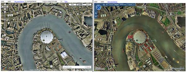
Obtain aerial from google map/live map with sync by lat/long position
20080713
create for google map in sync with live map for birds eye view
20100122
revised for seamless tiling N E S W x2 (without overlap) from current location
problem fixed: ie showing the button for terrain on gmap
enhanced: hide google controls + user controls + removed margins